darren milligan
curriculum vitae
digital project portfolio
biography
smithsonian learning lab
smithsonian education online
edtech strategy
education metadata
talk with me toolkits
world of your senses
smithsonian in your classroom
create:smithsonian
idealabs: sizing up the universe
idealabs: prehistoric climate change
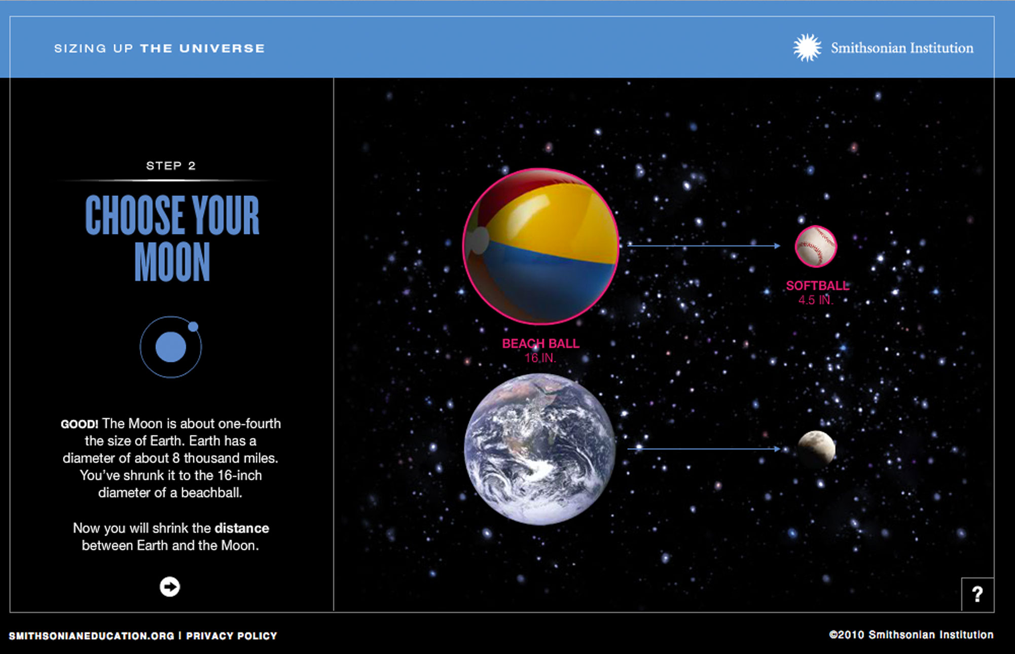
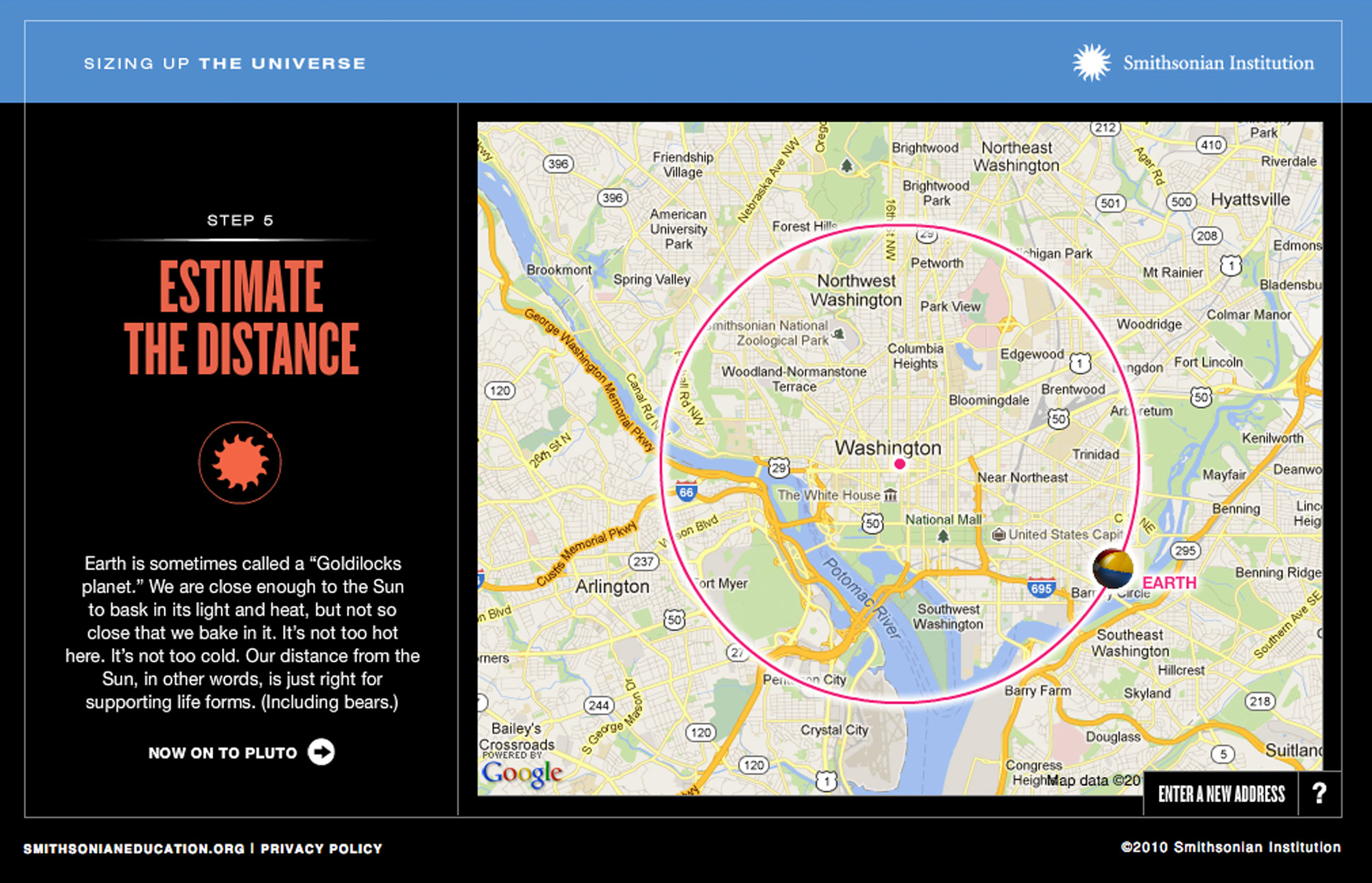
The Smithsonian's "Sizing Up the Universe" IdeaLab interactive is an educational tool designed to help students grasp the immense scale of the universe by comparing astronomical objects to everyday objects. The web-based interactive was developed as a digital student-directed version of “The Universe: An Introduction” issue of Smithsonian in Your Classroom magazine. It features these core concepts:
Relativity of Scale: The interactive allows users to explore the vastness of space by representing planets, stars, and galaxies with familiar objects like basketballs, fried eggs, etc.
Visual Comparisons: By choosing an object to represent the Earth, students can then determine appropriately sized objects to represent other celestial bodies based on their relative size.
Distance & Mapping: It also demonstrates relative distances and orbits using a Google Maps overlay, allowing users to input their own location and see the distances to celestial objects like the Sun and Moon.
By using relatable objects, the interactive makes the abstract concept of the universe's size more tangible and understandable. The interactive visual approach helps students grasp the relative scales of objects in the universe more effectively and encourages active learning and exploration, making the subject matter more engaging for students.
Organization: Smithsonian Institution
Audiences: Students
Roles: Concept, project manager, art director, design team management, engineering team management, UX/UAT testing lead, communication lead